
Marine services / Marine, Hydrographic & Geotechnical Survey
Marine, Hydrographic & Geotechnical Survey
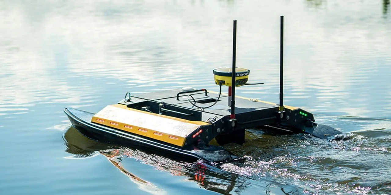
Multibeam bathymetry, side-scan sonar, UAV survey, boreholes, vibrocores and CPTs.
Understand the ground beneath the water
The survey service encompasses multibeam bathymetry, side-scan sonar and UAV survey alongside boreholes, vibrocores and cone penetration tests (CPTs). These investigations establish the baseline for design and delivery.
Survey control continues through the works. Baseline bathymetry and finished-level checks are assessed against design and client specifications, connecting the initial investigation to handover.
Discuss this serviceOne accountable delivery team.
Engineering, environmental advisory, project management and operations support this service as part of DEMCO’s full-service model.
Explore the delivery processAll marine servicesYour next project starts here